Combining field geology with modern geospatial technologies to support exploration decision-making.
Ubuntu Geoscience delivers mineral exploration and geoscience consulting services focused on the Arabian-Nubian Shield, West Africa, and comparable frontier terrains. The consultancy is built on extensive hands-on field experience across both greenfields and brownfields exploration environments, supported by integrated interpretation of structural controls, geochemical, geophysical, remote sensing, and geospatial datasets. This combination supports mineral exploration programs from early-stage prospectivity evaluation through target generation and drilling support. Experience spans a range of mineral deposit environments, including orogenic gold, volcanogenic massive sulphide (VMS), and porphyry copper deposits.
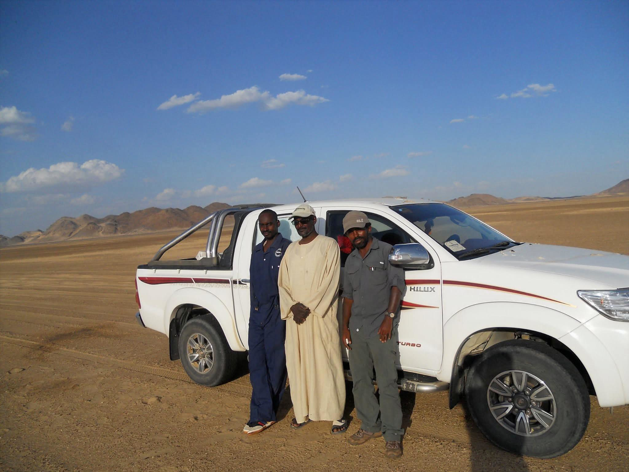
Previous project involvement includes contributions to the discovery of the Galat Sufur South gold deposit, together with extensive experience in geological mapping, drilling support, core logging, geophysical surveys, prospecting, and geochemical sampling across the Bisha and Asmara VMS belts and the Ariab and Dongola districts. This experience provides a practical understanding of exploration workflows across frontier and emerging mining jurisdictions throughout Africa and the MENA region..
Historical data review, satellite imagery analysis, and field geology to improve understanding of mineralisation systems, host geology, and exploration potential.
Geospatial analysis, remote sensing, and exploration data integration to improve geological understanding and support exploration programs.
Prospect assessment and target generation supported by integrated geological interpretation and recommendations for follow-up exploration work.
Ubuntu Geoscience combines field geology and integrated dataset interpretation to support mineral exploration and resource development. Previous project involvement spans the Asmara Belt, Ariab and Bisha districts, as well as frontier exploration corridors across Africa and the MENA region.
Ubuntu Geoscience supports mineral exploration through field geology and complementary desktop studies, including geological mapping, remote sensing image analysis, legacy data reinterpretation, geochemical and geophysical data synthesis, GIS integration, exploration targeting, drilling support, exploration project management, and ASGM technical evaluation.